COST ACTION CA20118
Three-dimensional Forest Ecosystem Monitoring and Better Understanding by Terrestrial-based Technologies
3DForEcoTech project aims to establish a strong network of scientists and stakeholders (i.e. practitioners) and sensor manufacturers to synchronise the knowledge, to develop general protocols and algorithms for forest ecosystem state survey and forest functioning, and to make these novel technologies available to a broad audience.
Specifically, 3DForEcoTech will develop protocols for data acquisition, processing, fusion for forest inventory and ecological applications, and will establish open-data and open-source algorithm databases.
Structure
Meet our Working Groups
The WG1 primarily focuses on different aspects of data collection by novel terrestrial-based technologies suitable to capture and generate 3D point clouds of individual trees as well as forest ecosystems.
The WG2 focuses on the fusion of data produced by novel terrestrial-based technologies data with other remote sensing data. The aim is to establish the link between terrestrial data in the frame of large-scale applications at regional, national, or even global levels.
The WG3 is divided into three main aspects of point cloud processing: pre-processing, processing, and evaluation of results. Pre-processing is an important step for both laser- and image-based point clouds. And it is a very crucial step for photogrammetry where the two-dimensional images are processed into 3D point clouds.
WG4 is working on the application part of the Action. WG4 focuses on the usage of novel terrestrial-based technologies and techniques within precision forestry. Mainly on forest stands and individual tree parameters, that could be used for forest inventory, monitoring, and management.
WG5 is an application-oriented WG, similar to WG4. In this case, the focus is on the implementation of novel terrestrial-based technologies for forest ecology research purposes. In the beginning, it will identify already available best practices. The WG5 closely works with WG1-3 to identify all possibilities from data collection, data fusion, and processing points of view.
WG6 is responsible for identifying important stakeholders and target audiences at the national, European, and global levels. It will establish correct and efficient communication with all parties, in order to disseminate the findings and results.
Here we are publishing presentation and posters that were presented at international conferneces around the world and are directly linked to the 3DForEcoTech COST Action. Silvilaser 2025, Quebec city, Canada Silvilaser 2025, Quebec city, Canada 2nd GEOBENCH Workshop Silvilaser 2023 BES Annual Meeting 2023
Open data and databses created or co-created within the 3DForEcoTech COST Action TreeAI Global Database The TreeAI Global Database is an international effort led by Dr. Mirela Beloiu Schwenke (ETH Zürich) to build the world’s most comprehensive collection of high-resolution aerial imagery and expert-annotated individual trees. The project brings together ecologists, remote-sensing scientists, and AI...

3DforEcoTech is launching calls for Virtual mobilities. Below are specific projects that should take 2-3 weeks of work, and you will receive 1,500 euros. For these grants, no travelling is expected. The call opens on September 5th, 2025. The call will close when candidates are found, so it will be on a first-come, first-served basis....

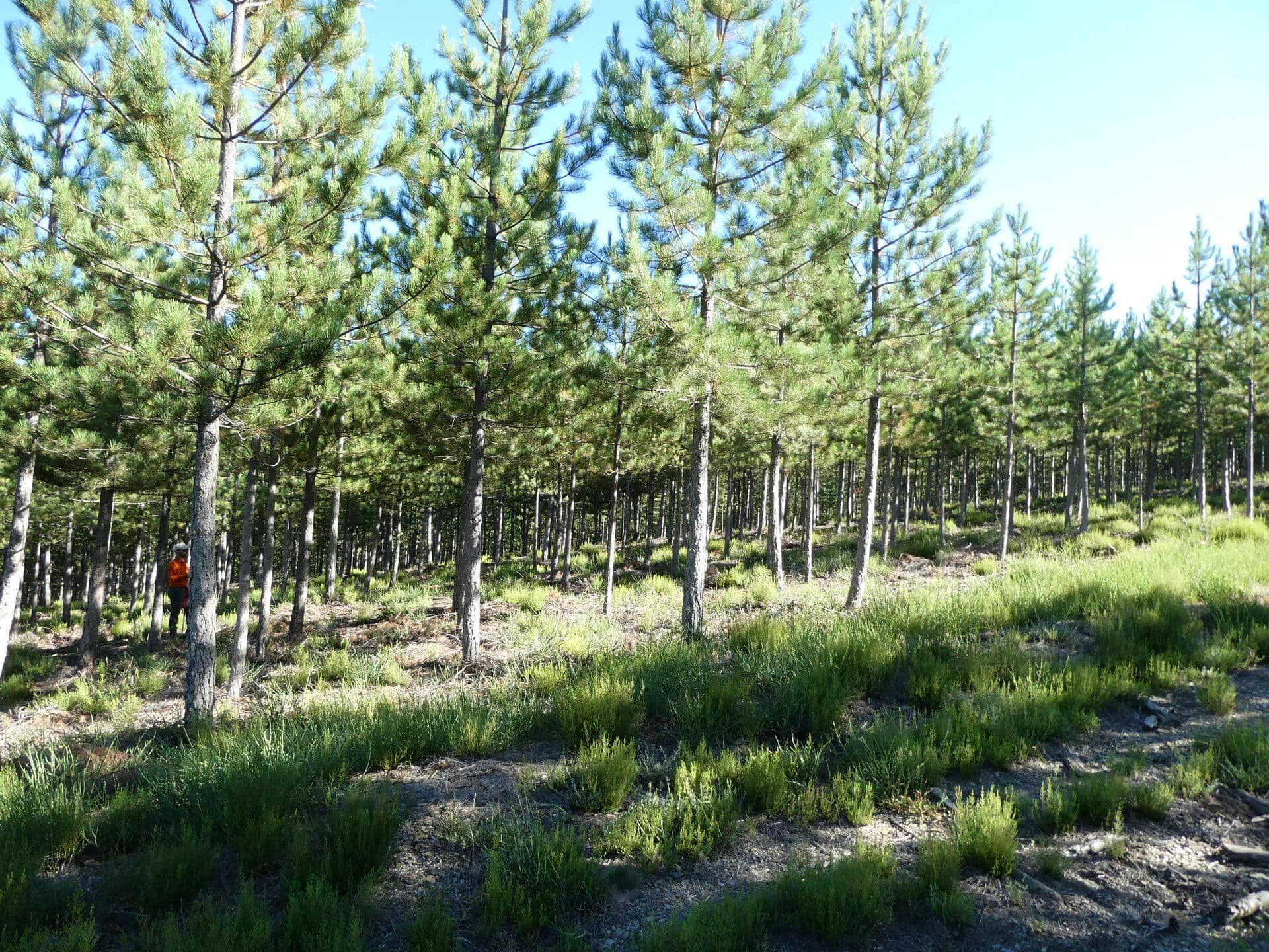
In the summer of 2024, LiDAR data were collected in young pine plantations in the Ourense province in northwest Spain using handheld mobile scanners (HMLS) and terrestrial laser scanners (TLS). In the field, 20 trees were measured, successively felled, dried and weighed. The STSM/virtual mobility we propose represents the preliminary step in developing models for...

Aim & Objectives Precision forestry is an approach to forest management that leverages advanced technologies to enhance decision-making processes and optimize forest operations. LiDAR technologies enable detailed measurements of tree height, canopy density, stem diameter, and even understory vegetation, allowing for a more precise understanding of forest composition and health. By capturing data at a...