TreeAI4Species Competition

TreeAI4Species Data Science Competition is a global challenge to develop innovative algorithms for identifying tree species using high-resolution aerial imagery. This competition is an opportunity for data scientists, researchers, and AI practitioners to push the boundaries of remote sensing and AI applications in forestry. The results of this competition will contribute to the development of scalable, AI-driven solutions for biodiversity conservation and tree species monitoring.

Participants will work with a curated subset of the TreeAI Global Initiative, the largest open-access database of annotated tree imagery, to classify and segment tree species. A key challenge in the competition is object detection with deep learning, where participants will develop advanced computer vision models (e.g., CNNs, YOLO, Faster R-CNN, Transformer-based architectures) to detect and classify individual trees from aerial images. 

How to Participate

  • Register: Sign up using this registration link.
  • Access the dataset: Download the competition dataset after registration.
  • Build your model: Develop algorithms to classify and segment tree species using the provided data.
  • Submit your results: Upload predictions and model descriptions to the competition portal.

Competition Details

Participants are tasked with developing deep learning models to identify and classify tree species based on RGB aerial imagery provided by the TreeAI database.

Specific objectives include:

  • Detecting individual trees in images.
  • Classifying tree species within these detected areas.
Dataset composition:
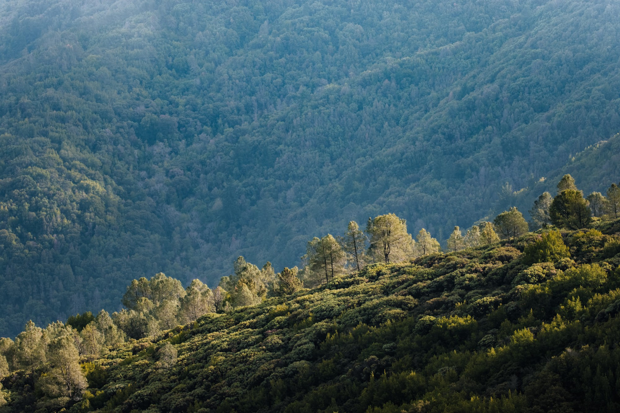
  • High-resolution RGB aerial images from diverse forest biomes.
  • Annotations of tree canopies with labeled species.
  • Training and validation splits for model development and evaluation.
  • Test split for the final evaluation.
Download:

The dataset is available for download external pagefrom this Zenodo page.  

Data structure:

The data are in the COCO format, each folder contains training and validation subfolders.

  • Training: Images (.png) and Labels (.txt)
  • Validation: Images (.png) and Labels (.txt)

Images: RGB bands, chip size 640 x 640 pixels, 0.5 cm spatial resolution of the pixel, 8 bit.

Labels: The number of classes varies per dataset, e.g. dataset 12_RGB_all_L has 53 classes, the Latin name of the species is given for each class ID in the file named classes.txt.

Datasets:
  1. Fully labeled images (i.e. the image has all the trees delineated and each polygon has species information)
  2. Partially labeled images (i.e. the image has only some trees delineated, and each polygon has species information)

a) Fully labeled image. Source: Michele Torresani. b) Partially labeled image. Source: Nicolas Latte.

Models will be evaluated based on:

  • Accuracy given a certain Intersection over Union (IoU): Correct identification of tree species.
  • mAP and F1 Score: Balancing precision and recall for species classification.
  • Launch Date: 3 March 2025
  • Submission Deadline: 23 June 2025
  • Winners Announcement: 21 July 2025
  • 1st Place: 1500 CHF
  • 2nd Place: 1000 CHF
  • 3rd Place: 500 CHF

Benefits of Participation

  • Win prizes and gain recognition for your innovative solutions.
  • Collaborate with a global community of researchers and data scientists.
  • Be part of future publication of the TreeAI consortium.
  • Showcase your work and contribute to the advancement of AI in forest ecology.

Contact

For inquiries, please contact:
Mirela Beloiu Schwenke, TreeAI Coordinator
mirela.beloiu@usys.ethz.ch

Facebook
Twitter
LinkedIn
WhatsApp
Email
News

Latest Updates

Aim & Objectives Precision forestry is an approach to forest management that leverages advanced technologies to enhance decision-making processes and optimize forest operations. LiDAR technologies enable detailed measurements of tree height, canopy density, stem diameter, and even understory vegetation, allowing for a more precise understanding of forest composition and health. By capturing data at a...

AIM & OBJECTIVES We are opening a call for participants of the Interdisciplinary Summer School on Forest Ecosystems 2025. It is already the third year in a row where we are planning to do a summer school where multiple COST Actions will get together and train a new generation of scientists on how to map,...

Working Groups 2 and 5 Data preparation for Deep learning models Duration: 3 months. Timing: 20 January 2025 (flexible starting). Location: in person Total estimated grant: 4000 euros Description: This STSM Position Grant is important to the WG2 (data fusion) and WP5 (forest ecology) activities. During this STSM the successful candidate will help with the website preparation,...

One focus of the session “Remote Sensing for Forest Applications” at the upcoming European Geosciences Union General Assembly 2025 (EGU25) in Vienna, Austria (27 April – 2 May 2025), will be on the outcomes of the 3DForEcoTech COST Action (www.3dforecotech.eu). Its focus is on developing protocols for data acquisition and processing, fusion for forest inventory...

We are opening a call for a local organizer of the Interdisciplinary Summer School 2025. It is already the third year in a row that we plan to do a summer school where multiple COST Actions will get together and train a new generation of scientists on how to map, monitor and model forest ecosystem...

We are pleased to extend an invitation to submit an abstract in our  session titled “Remote Sensing for Forest Applications” at the upcoming European Geosciences Union General Assembly 2025 (EGU25), to be held in Austria (27 April – 2 May 2025). This session explores the potentials and limitations of various remote sensing applications in forestry,...