STSM Position | WG2 and WP5

Working Groups 2 and 5

Data preparation for Deep learning models

Duration: 3 months. 
Timing: 20 January 2025 (flexible starting). 
Location: in person

Total estimated grant: 4000 euros

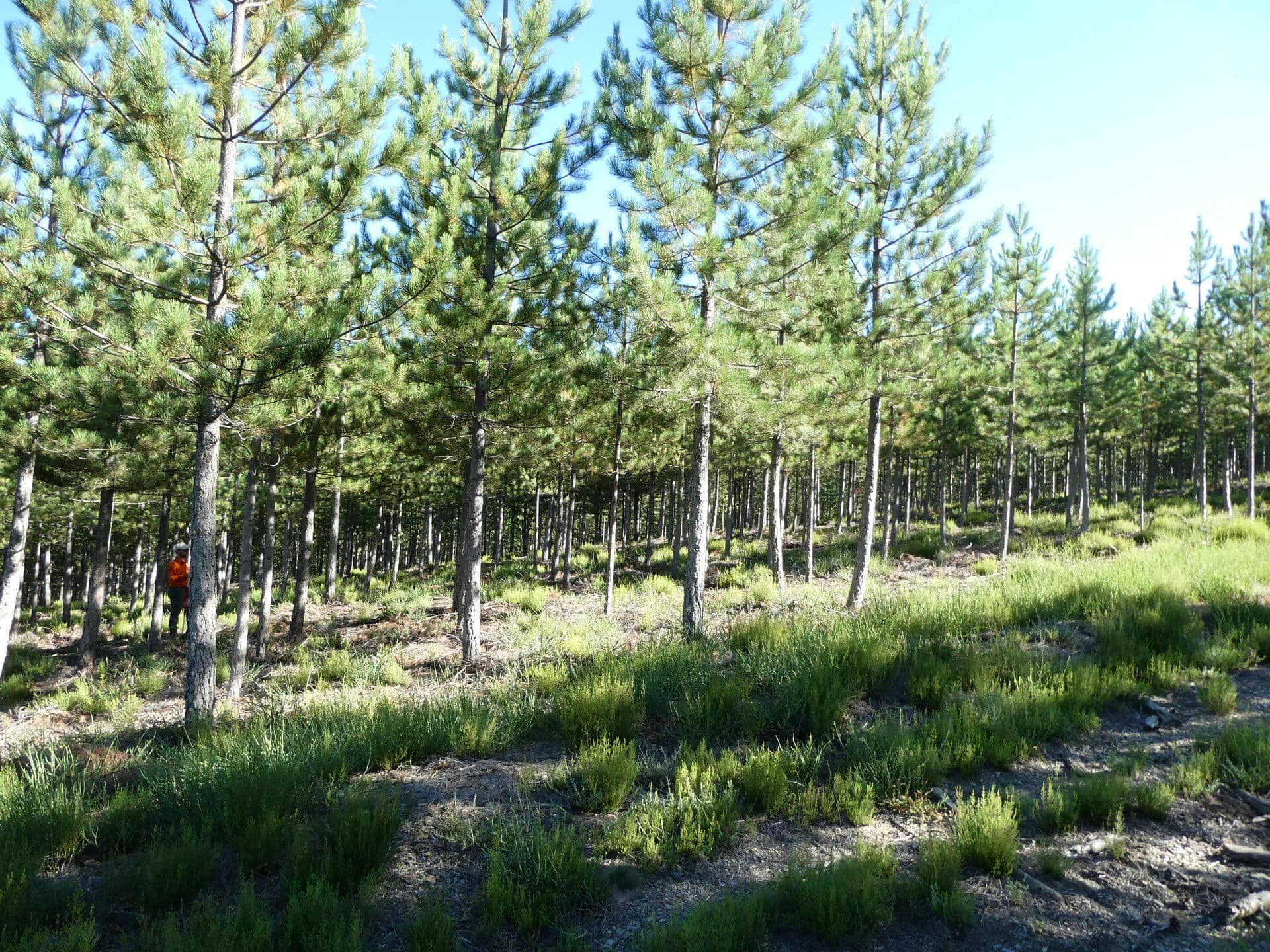
Description: This STSM Position Grant is important to the WG2 (data fusion) and WP5 (forest ecology) activities. During this STSM the successful candidate will help with the website preparation, data cleaning, segmentation of the trees, and tree species annotations for deep learning models. The project focuses on mapping individual tree species which is a critical task for forestry management. Using aerial RGB imagery, we aim to create a cost-effective, automated system for detecting and identifying tree species, with broad applications in forest monitoring.

Specific tasks include checking the alignment of tree positions with ortho-mosaic, checking the species’ Latin name, delineating and annotating tree crowns, etc. The database is built based on this data call: https://3dforecotech.eu/activities/tree-species-annotations-and-aerial-rgb-or-rgbi-imagery/

The candidate is expected to have up to 3 months of 60-80% time availability for this project. Experience in using GIS software e.g. ArcGIS Pro or Python and working with shapefile and raster data is required. Knowledge of segmentation approaches is needed.

Anticipated output: The final output will be tree canopy delineations. These will be used further to train a deep-learning model.

If you are interested, please send your CV and a short motivation with an example of your work with segmentation methods for raster images to the following e-mail addresses:

Application deadline: 06.01.2025. Applications received by 06 January 2025 will receive full consideration, however, the position will remain open till filled.

Facebook
Twitter
LinkedIn
WhatsApp
Email
News

Latest Updates

One focus of the session “Remote Sensing for Forest Applications” at the upcoming European Geosciences Union General Assembly 2025 (EGU25) in Vienna, Austria (27 April – 2 May 2025), will be on the outcomes of the 3DForEcoTech COST Action (www.3dforecotech.eu). Its focus is on developing protocols for data acquisition and processing, fusion for forest inventory...

We are opening a call for a local organizer of the Interdisciplinary Summer School 2025. It is already the third year in a row that we plan to do a summer school where multiple COST Actions will get together and train a new generation of scientists on how to map, monitor and model forest ecosystem...

We are pleased to extend an invitation to submit an abstract in our  session titled “Remote Sensing for Forest Applications” at the upcoming European Geosciences Union General Assembly 2025 (EGU25), to be held in Austria (27 April – 2 May 2025). This session explores the potentials and limitations of various remote sensing applications in forestry,...

Dear forest scientists, As part of the COST action 3DForEcoTech and COST SNSF project, we aim to establish an international collaboration and create the first database for the detection of individual tree species. We are seeking i) manual tree species canopy delineations and ii) aerial RGBI (red, green, blue, and near infrared) or RGB imagery data for the delineated tree species...

Do you have data from destructive measurements (traditional approach) paired with scans from close-range technologies? This kind of data is quite scarce and involves much work. Therefore, the value of this data, combined from different locations/countries, is even greater, and we would really appreciate it if you could help us in the compilation of information to improve our knowledge...

From monitoring to modelling Aim & Objectives The increasing rates of changes in environmental conditions put higher pressure on science to provide robust estimates of future ecosystem development. We need robust approaches to measure the current state, understand the processes and then accurately predict the development of forest ecosystems. In this view, the members of...