Aim & Objectives:
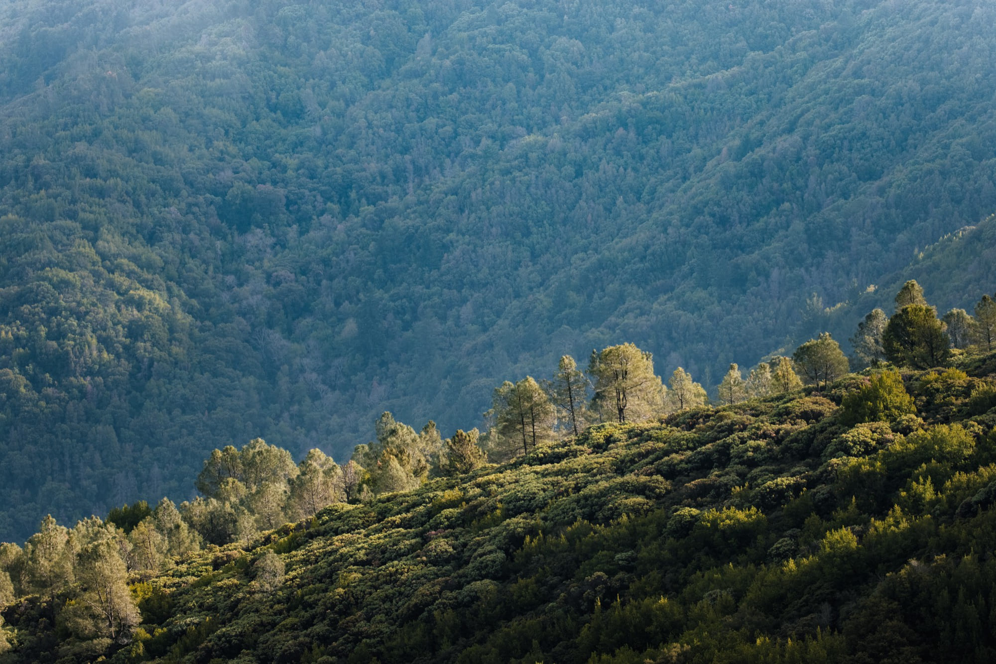
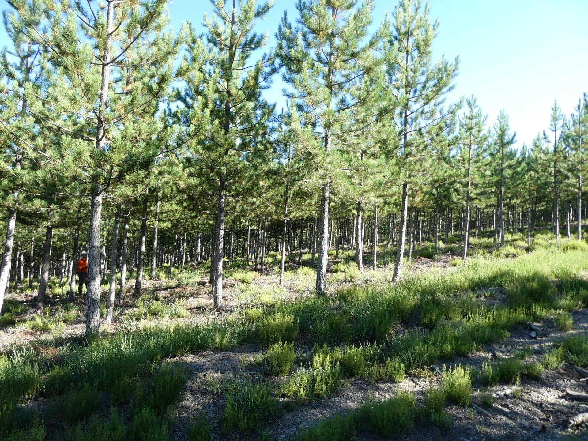
Novel terrestrial-based technologies play an important part in monitoring forest ecosystems. Such technologies have experienced a fast development in recent years. Within this summer school we will introduce the theory, practical work and analysis of 3D terrestrial-based sensors. This includes various types of terrestrial laser scanning, mobile laser scanning, as well as photogrammetric methods. The instruments used in this summer school will range from state-of-the-art commercial sensors to low-cost and accessible. We will focus on working towards deriving typical forest inventory parameters (diameter, height, biomass) as well as more forest ecology focussed structural parameters (Plant Area Index, vertical plant profiles, understorey). A poster session on the participants’ current research interests and work will stimulate open exchange and discussion between students and trainers.
Target Audience:
This summer school is designed for PhD candidates and postdocs from any research field with little to no experience with these technologies, but who can see the potential of these techniques and systems in their future research.
Organisers & Trainers:
Ninni Saarinen (University of Eastern Finland, Finland) Kim Calders (Ghent University, Belgium)
Rachel Gaulton (Newcastle University, UK)
Magnus Bremer (Austrian Academy of Sciences, Austria)
Louise Terryn (Ghent University, Belgium)
Martin Mokros (Czech University of Life Sciences Prague, Czech Republic)
Antero Kukko (National Land Survey of Finland, Finland)
How to join?
We have approximately 16 places available for this summer school. Please apply through this form (https://forms.gle/Xuh5bij3HkakATti9) by March 31st, 2022. Each applicant is requested to send (i) a short motivation letter, (ii) a one page CV and (iii) a 300-word abstract of the participants’ current work. This information will be used by the organisational committee to decide which candidates will be accepted. Decisions on participation will be communicated in the second half of April.
When & Where? 18/7/2022 – 22/7/2022, Helsinki, Finland
Venue: Kulttuurikeskus ja kokoushotelli Sofia (https://sofia.fi/en/home)
Contact: 3dforecotech.summerschool@gmail.com
Participation fee & support: No registration fee. COST action 3DForEcoTech will support selected participant’s travel, accommodation and subsistence. Only applicants from COST countries (https://www.cost.eu/about/members/) are eligible for the support. The support will be transferred only after the completion of the school.
by COST Action 3DForEcoTech