Here we are publishing presentation and posters that were presented at international conferneces around the world and are directly linked to the 3DForEcoTech COST Action.
Silvilaser 2025, Quebec city, Canada
Here we are publishing presentation and posters that were presented at international conferneces around the world and are directly linked to the 3DForEcoTech COST Action.
Silvilaser 2025, Quebec city, Canada
Open data and databses created or co-created within the 3DForEcoTech COST Action TreeAI Global Database The TreeAI Global Database is an international effort led by Dr. Mirela Beloiu Schwenke (ETH Zürich) to build the world’s most comprehensive collection of high-resolution aerial imagery and expert-annotated individual trees. The project brings together ecologists, remote-sensing scientists, and AI...
3DforEcoTech is launching calls for Virtual mobilities. Below are specific projects that should take 2-3 weeks of work, and you will receive 1,500 euros. For these grants, no travelling is expected. The call opens on September 5th, 2025. The call will close when candidates are found, so it will be on a first-come, first-served basis....
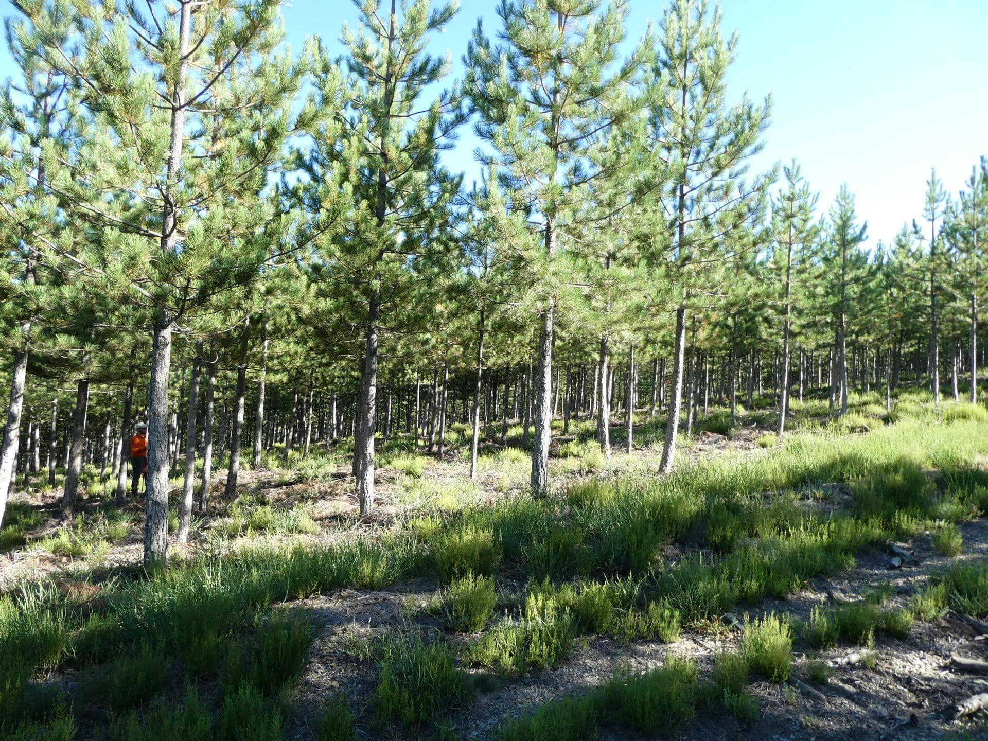
In the summer of 2024, LiDAR data were collected in young pine plantations in the Ourense province in northwest Spain using handheld mobile scanners (HMLS) and terrestrial laser scanners (TLS). In the field, 20 trees were measured, successively felled, dried and weighed. The STSM/virtual mobility we propose represents the preliminary step in developing models for...

Aim & Objectives Precision forestry is an approach to forest management that leverages advanced technologies to enhance decision-making processes and optimize forest operations. LiDAR technologies enable detailed measurements of tree height, canopy density, stem diameter, and even understory vegetation, allowing for a more precise understanding of forest composition and health. By capturing data at a...

TreeAI4Species Data Science Competition is a global challenge to develop innovative algorithms for identifying tree species using high-resolution aerial imagery. This competition is an opportunity for data scientists, researchers, and AI practitioners to push the boundaries of remote sensing and AI applications in forestry. The results of this competition will contribute to the development of scalable,...