We are pleased to extend an invitation to submit an abstract in our session titled “Remote Sensing for Forest Applications” at the upcoming European Geosciences Union General Assembly 2025 (EGU25), to be held in Austria (27 April – 2 May 2025).
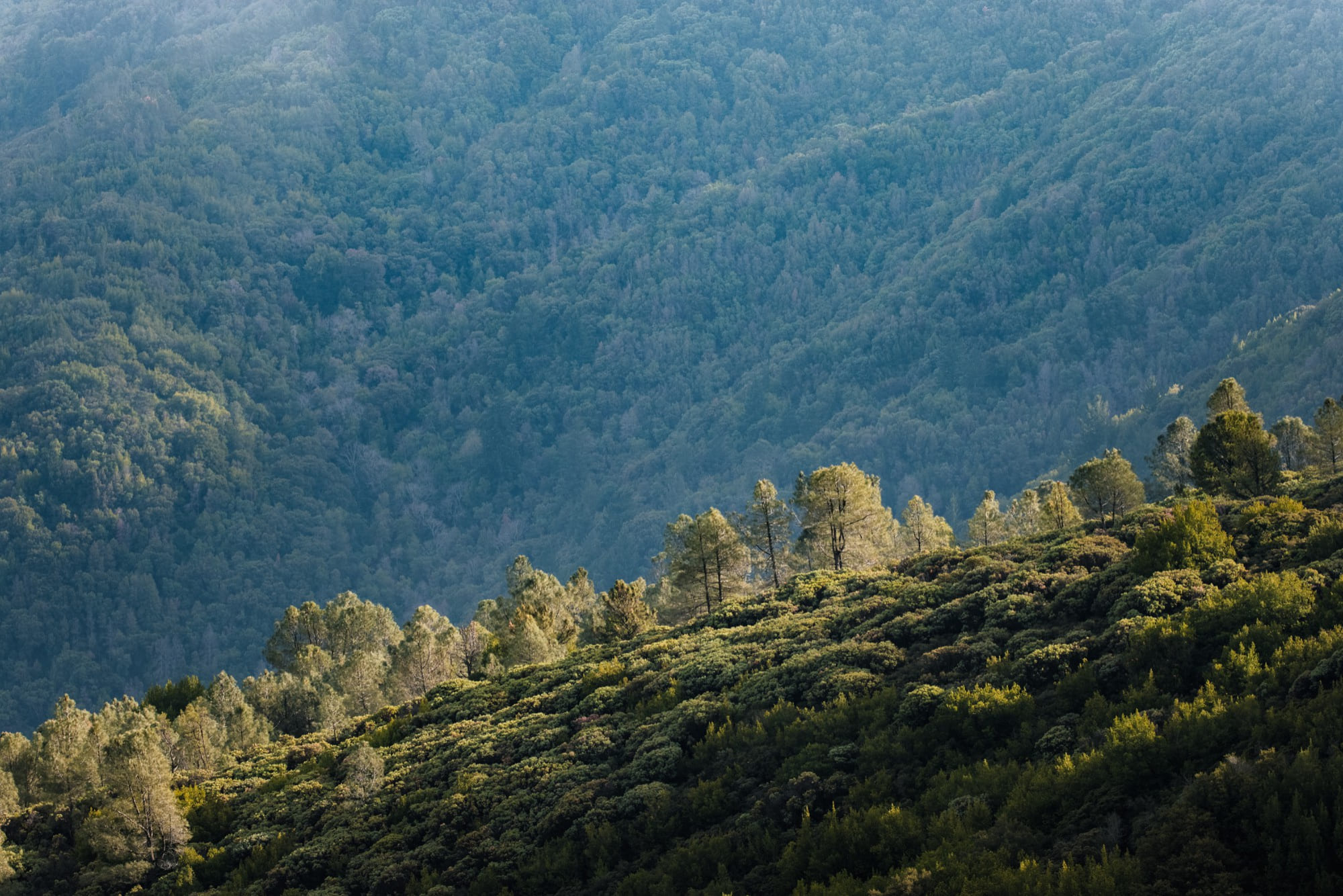
This session explores the potentials and limitations of various remote sensing applications in forestry, with the focus on the identification and integration of different methodologies and techniques from different sensors and in-situ data for providing qualitative and quantities forest information. In general, remote sensing allows examining and gathering information about an object or a place from a distance, using a wide range of sensors and platforms. A key development in remote sensing has been the increased availability of data with very high temporal, spatial and spectral resolution. In the last decades, several types of remote sensing data, including optical, multispectral, radar, LiDAR from different platforms (i.e. terrestrial, mobile, UAV, aerial and satellite platforms), have been used to detect, classify, evaluate and measure the earth surface, including different vegetation cover and forest structure.
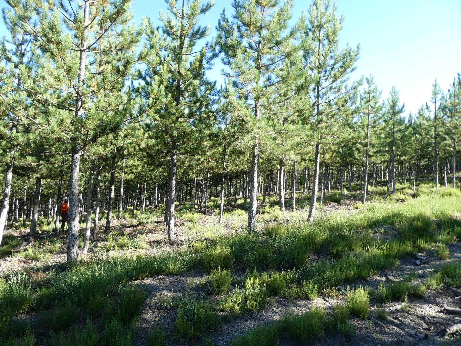
For the forest sector, such information allows efficient quantification of the state and monitoring of changes over time and space, in support of sustainable forest management, forest and carbon inventory or for monitoring forest health and their disturbances. Remote sensing data can provide both qualitative and quantitative information about forest ecosystems. In a qualitative analysis, forest cover types and species composition can be classified, whereas the quantitative analysis can measure and estimate different forest structure parameters related to single trees (e.g. DBH, height, basal area, timber volume, etc.) and to the whole stand (e.g. number of trees per unite area, spatial distribution, etc.). However, to meet the various information requirements, different data sources should be adopted according to the application, the level of detail required and the extension of the area under study. The integration of in-situ measurements with satellite/airborne/UAV imagery, Structure from Motion, LiDAR and geo-information systems offers new possibilities, especially for interpretation, mapping and measuring of forest parameters and will be a challenge for future research and application.
One focus of this session will be on the outcomes of the 3DForEcoTech COST Action (www.3dforecotech.eu) with its focus on developing protocols for data acquisition and processing, fusion for forest inventory and ecological applications and the establishment of open-data and open-source algorithm databases.
We invite you to submit your abstract by the deadline of Wednesday, 15 January 2025, 13:00 CET. For detailed information on the submission guidelines, please visit this page here.
Your participation would be a valuable addition to our session, and we look forward to the possibility of your contribution. Should you have any questions or require further information, please do not hesitate to contact us.
Warm regards,
Markus Hollaus (markus.hollaus@geo.tuwien.ac.at)
Mattia Balestra (m.balestra@staff.univpm.it)