Open data and databses created or co-created within the 3DForEcoTech COST Action
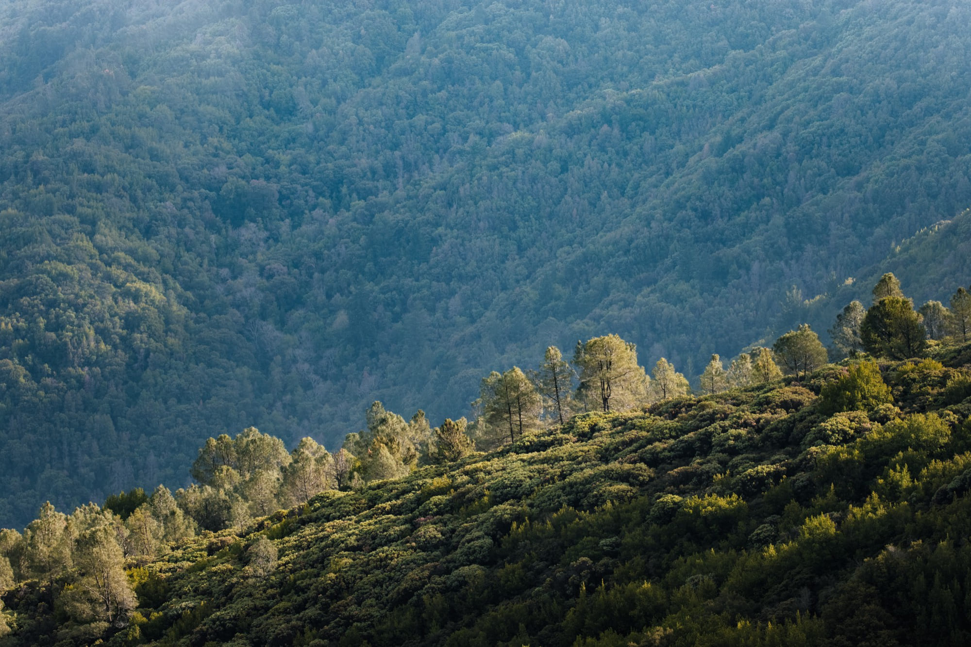
TreeAI Global Database
The TreeAI Global Database is an international effort led by Dr. Mirela Beloiu Schwenke (ETH Zürich) to build the world’s most comprehensive collection of high-resolution aerial imagery and expert-annotated individual trees. The project brings together ecologists, remote-sensing scientists, and AI researchers to develop robust models for tree-species recognition, biodiversity monitoring, and early detection of forest stress. By combining local expertise with global imagery, TreeAI aims to create a new benchmark for scalable, AI-driven forest intelligence. Project website is here.
TreeAI Competition
As part of the initiative, a global competition invited participants to contribute annotated datasets and modelling approaches for individual tree-species identification. The challenge attracted teams from around the world, with the winning contributions demonstrating exceptional quality, innovation and potential for improving biodiversity mapping at scale. The competition highlights the growing importance of open, collaborative AI approaches in ecology and environmental science. LinkedIN post about winners is here.
Explore the Data
A visual preview of the TreeAI data is available through an interactive Google Earth Engine map. You can explore sample imagery, annotations, and species distributions directly here
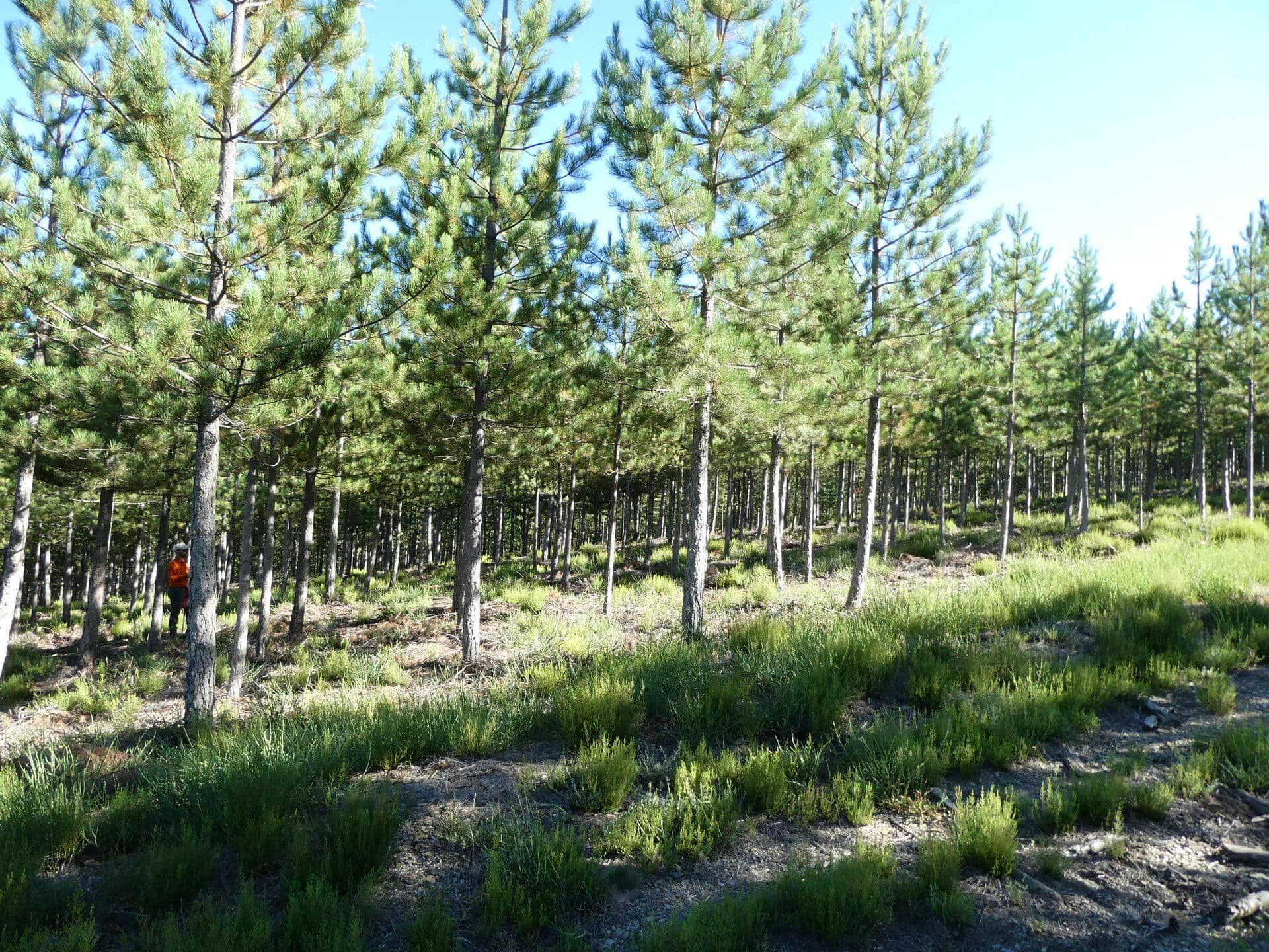
FOR-species20K dataset
The FOR‑species20K dataset presents over 20,000 individual tree point clouds from 33 species, collected via terrestrial (TLS), mobile (MLS) and drone (ULS) laser scanning across multiple biogeographic regions. It is designed to benchmark tree species classification using deep learning, with a clear developmental/test split (90 % dev / 10 % test) and withheld labels for the test portion to facilitate challenge-style evaluation.
All data are published here: https://doi.org/10.5281/zenodo.13255197
Manuscript published here: https://doi.org/10.1111/2041-210X.14503
Forest3DTwin
The Forest3DTwin initiative, led by the Swiss Federal Institute for Forest, Snow and Landscape Research WSL, is building an open-access database of 3-D forest plot data collected using terrestrial LiDAR (TLS) to support modelling of carbon dynamics, energy fluxes and habitat diversity.
Project website: https://envidat.ch/beta/#/browse/mode?mode=forest3d
Interactive database: https://envidat.ch/beta/#/browse/mode?mode=forest3d
Other open data featuring ground-based lidar for forest and trees
SilviLaser 2021
The dataset presents co-registered 3D point clouds from terrestrial laser scanning (TLS), mobile laser scanning (MLS) and terrestrial photogrammetric systems (TPS) for eight forest plots (25 m radius each) of varying species, age and structure, plus airborne laser scanning (ALS) reference digital terrain models (DTM), collected as part of the SilviLaser 2021 Conference in Vienna.
Wytham Woods
The dataset presents high-resolution terrestrial laser scanning (TLS) point clouds and derived quantitative structure models (QSMs) for 835 individual trees within a 1.4 ha study area in Wytham Woods, UK, collected during leaf-off conditions in late 2015–early 2016 using a RIEGL VZ-400 system.
Individual tree TLS point clouds for tree volume estimation
The dataset “Individual tree TLS point clouds for tree volume estimation” provides individual-tree terrestrial laser scan (TLS) point clouds acquired during winter 2020/2021 (leaf-off) using a Leica BLK 360, along with derived geometric features and volume estimates from both allometric models and quantitative structure models (QSMs) for use in tree-volume estimation.
Vertical plant profiles for Dassenbos, Wytham Woods & Northern Australia
The dataset provides time-series vertical plant profiles derived from terrestrial laser scanning (TLS) in Dassenbos, Netherlands (2014-2018) and from LEAF systems in Wytham Woods (UK) and Northern Australia (2021-2022) aimed at supporting structure-monitoring of vegetation.
Weighing trees with lasers project: terrestrial laser scanner data – Armstong Redwoods State Natural Reserve
The dataset comprises full-waveform terrestrial laser scanner (TLS) data collected in September 2017 using a RIEGL VZ-400 at a permanent sample plot in the Armstrong Redwoods State Natural Reserve (California), as part of a broader project to examine tree allometry, wood density and biomass retrieval across continents.
Weighing trees with lasers project: terrestrial laser scanner data – Harvard Forest Massachusetts
The dataset consists of full-waveform terrestrial laser scanner (TLS) data collected in August 2017 at a permanent sample plot in the Harvard Forest (Massachusetts, USA) as part of a global study to test tree allometry and above-ground biomass retrieval across continents.
Global dataset of co-incident TLS-derived and harvested tree biomass
It comprises 391 individual trees from 111 species, each measured by terrestrial laser scanning (TLS) and subsequently harvested to assess above-ground biomass (AGB), with accompanying allometric-equation AGB estimates and scan metadata such as stem diameter, foliage condition, scanner type and scan pattern.
ForestScan: Terrestrial Laser Scanning (TLS) of FBRMS-01: Paracou, French Guiana 1ha plot IRD-CNES
t comprises 249 high-resolution terrestrial laser scans over a 1.4 ha forest plot in French Guiana, conducted in October 2021 using the Riegl VZ-400 on a 10 m grid with dual scan positions (upright + tilted), co-registered and tiled for structural forest analysis.
ForestScan Project : Terrestrial Laser Scanning (TLS) of FBRMS-02: Station d’Etudes des Gorilles et Chimpanzés, Lopé National Park, Gabon 1ha plot
It contains dense terrestrial laser scanning (TLS) data collected in June–July 2022 across four 1 ha forest-biomass reference measurement sites in Gabon, acquired via a 10 m grid of upright and tilted scans using a Riegl VZ-400i, and processed with a pipeline for individual-tree segmentation and quantitative‐structure modelling (QSM) of above-ground woody volume and biomass.