New Research Initiative | CRRS


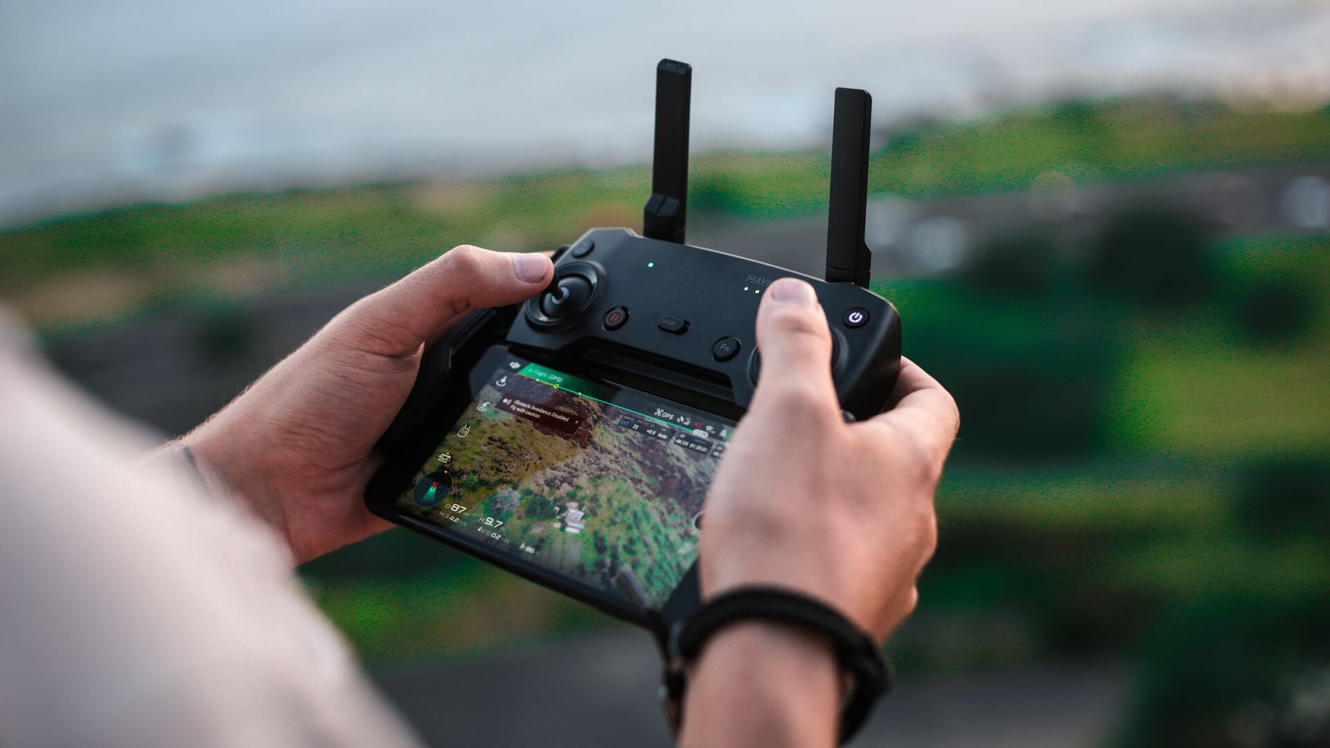
We are thrilled to announce an exciting new research initiative within the framework of 3DForEcoTech COST Action, focusing on the transformative potential of Close-range Remote Sensing (CRRS) technology for ecosystem studies.

3DForEcoTech is a collaborative effort bringing together researchers, industry professionals, and enthusiasts in the field of Close-range Remote Sensing. Our mission is to explore, share insights, and promote advancements in technology for the study and preservation of ecosystems.

As part of our ongoing commitment to advancing knowledge in this domain, we have initiated a comprehensive study aimed at gathering valuable insights from both users and providers in the CRRS industry. This research seeks to uncover challenges, opportunities, and trends shaping the current landscape.

We invite all stakeholders, including CRRS users and providers, to contribute to this research. Your unique perspectives will play a crucial role in shaping the outcomes and contributing to the collective knowledge of our community.

How to Participate
Participating is easy! Simply click on the survey link below and share your experiences and insights. Your input will not only help advance the field but will also be acknowledged in the final research publication.

Participate in the Survey!
🔗 https://forms.gle/6VEazgfvuXMv67g2A

The deadline for completing the survey is 31 January 2024.

Acknowledgment in Research Publication!
As a token of our appreciation, the names of contributors will be featured in the acknowledgment section of the final research publication. Your valuable input will be recognized and celebrated.

📧 Contact Us: For inquiries or additional information, please contact us at
ahmetozturk2371@gmail.com

Let’s shape the future of Close-range Remote Sensing for the well-being of our ecosystems!

Facebook
Twitter
LinkedIn
WhatsApp
Email
News

Latest Updates

Here we are publishing presentation and posters that were presented at international conferneces around the world and are directly linked to the 3DForEcoTech COST Action. Silvilaser 2025, Quebec city, Canada Silvilaser 2025, Quebec city, Canada 2nd GEOBENCH Workshop Silvilaser 2023 BES Annual Meeting 2023

Open data and databses created or co-created within the 3DForEcoTech COST Action TreeAI Global Database The TreeAI Global Database is an international effort led by Dr. Mirela Beloiu Schwenke (ETH Zürich) to build the world’s most comprehensive collection of high-resolution aerial imagery and expert-annotated individual trees. The project brings together ecologists, remote-sensing scientists, and AI...

3DforEcoTech is launching calls for Virtual mobilities. Below are specific projects that should take 2-3 weeks of work, and you will receive 1,500 euros. For these grants, no travelling is expected. The call opens on September 5th, 2025. The call will close when candidates are found, so it will be on a first-come, first-served basis....

In the summer of 2024, LiDAR data were collected in young pine plantations in the Ourense province in northwest Spain using handheld mobile scanners (HMLS) and terrestrial laser scanners (TLS). In the field, 20 trees were measured, successively felled, dried and weighed. The STSM/virtual mobility we propose represents the preliminary step in developing models for...

Aim & Objectives Precision forestry is an approach to forest management that leverages advanced technologies to enhance decision-making processes and optimize forest operations. LiDAR technologies enable detailed measurements of tree height, canopy density, stem diameter, and even understory vegetation, allowing for a more precise understanding of forest composition and health. By capturing data at a...